Research Symposium
24th annual Undergraduate Research Symposium, April 3, 2024
Morgan Gahan Poster Session 5: 4:00 pm - 5:00 pm/312

BIO
My name is Morgan Gahan, and I am a second-year student from Fort Myers, Florida pursuing a dual degree in International Affairs and Religion, along with a certificate in US Intelligence Systems. My academic and futher research interests lie in understanding the intersections of religion and extremist radicalization. After graduation, I hope to work in the Intelligence field, specifically in countering acts of religious terrorism. On campus, I am involved in the Mental Health Council, Honors Program, and COSSPP Communications team.
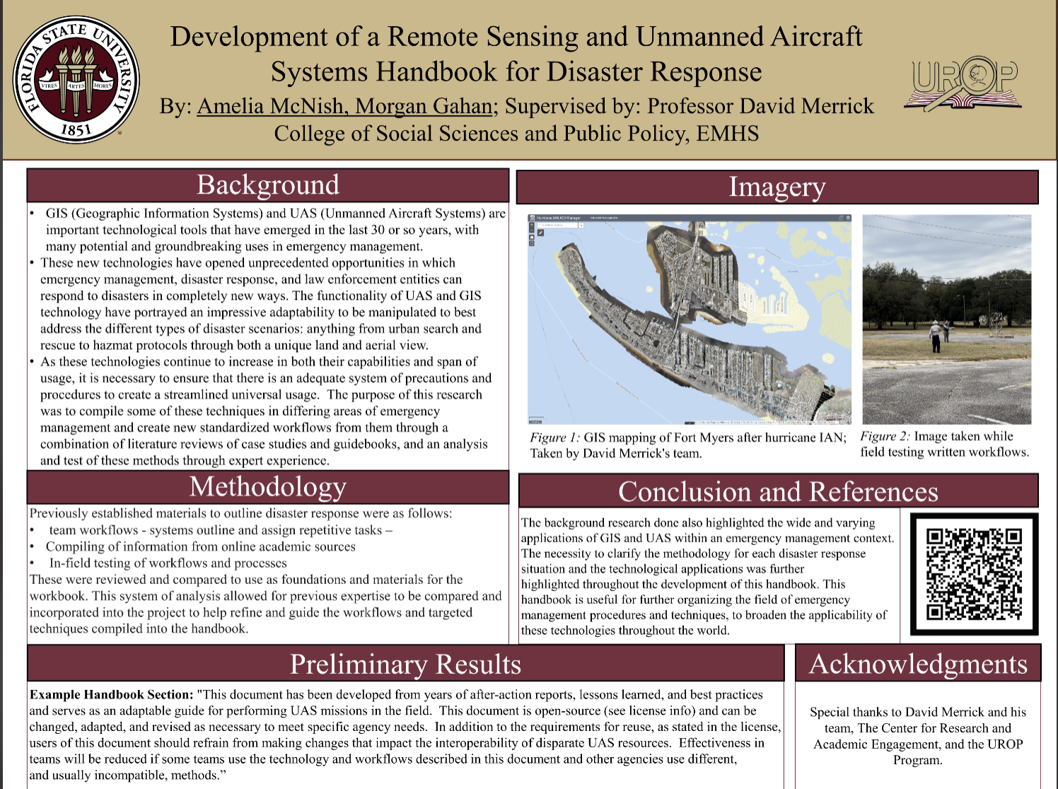
Development of a Remote Sensing and Unmanned Aircraft Systems Handbook for Disaster Response
Authors: Morgan Gahan, David MerrickStudent Major: International Affairs and Religion
Mentor: David Merrick
Mentor's Department: Emergency Management and Homeland Security Mentor's College: College of Social Sciences and Public Policy Co-Presenters: Amelia McNish
Abstract
GIS (Geographic Information Systems) and UAS (Unmanned Aircraft Systems) are important technological tools that have emerged in the last 30 or so years, with many potential and groundbreaking uses in emergency management. Emergency management is a broad and emerging field that tends to have differing standards of operation and techniques based on region and location. The purpose of this research was to compile some of these new techniques in differing areas of emergency management and create new standardized workflows from them through a combination of literature reviews of case studies and other guidebooks, and an analysis and test of these methods through expert experience. This is all used by the team to create a multi-dimensional handbook to include each potential method of disaster response using UAS and GIS technologies. The primary contributions to this research included analyzing academic papers on the subject, identifying the necessity of standardized disaster response methodology, and writing workflows to be embedded into the final handbook. The research was split between the applications of GIS & UAS in both hazmat and urban search and rescue situations on top of generalized Emergency Management.
Keywords: Unmanned Aerial Vehicles, Geographic Information Systems, Remote Sensing, Disaster Response.


