
UROP Project
Evaluating Earth Observation Foundation Models Across Urban Environments
satellite remote sensing, GeoAI, urban environments, GIS
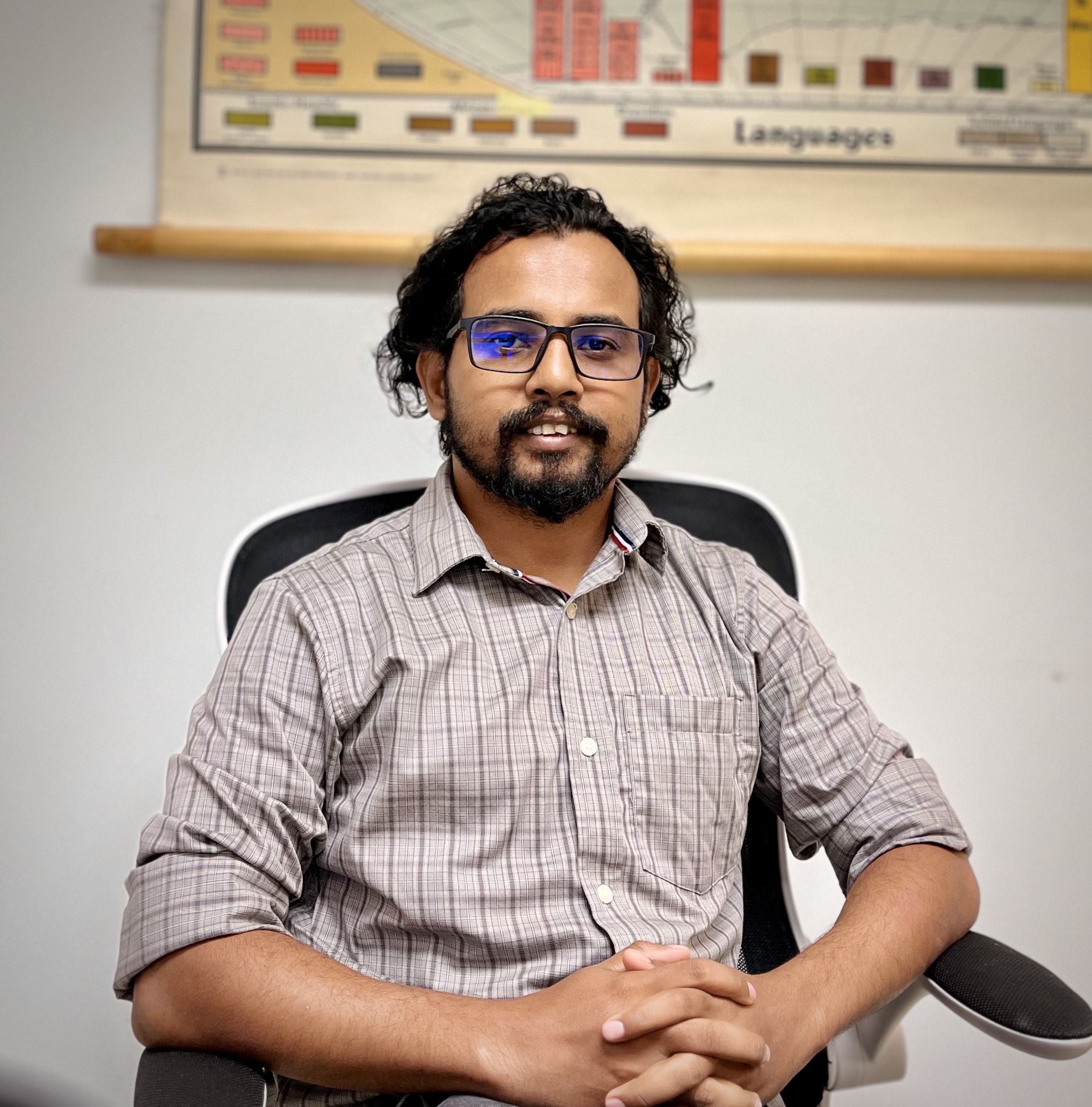
Research Mentor: Mr. Kazi Jihadur Rashid, He/him
Department, College, Affiliation: Geography, Social Sciences and Public Policy
Contact Email: kr24x@fsu.edu
Research Assistant Supervisor (if different from mentor):
Research Assistant Supervisor Email:
Faculty Collaborators:
Faculty Collaborators Email:
Department, College, Affiliation: Geography, Social Sciences and Public Policy
Contact Email: kr24x@fsu.edu
Research Assistant Supervisor (if different from mentor):
Research Assistant Supervisor Email:
Faculty Collaborators:
Faculty Collaborators Email:
Looking for Research Assistants: Yes
Number of Research Assistants: 1
Relevant Majors: Geography
Project Location: On FSU Main Campus
Research Assistant Transportation Required: No, the project is remote Remote or In-person: Partially Remote
Approximate Weekly Hours: 5-8, Flexible schedule (Combination of business and outside of business. TBD between student and research mentor.)
Roundtable Times and Zoom Link:
Not participating in the roundtable
Number of Research Assistants: 1
Relevant Majors: Geography
Project Location: On FSU Main Campus
Research Assistant Transportation Required: No, the project is remote Remote or In-person: Partially Remote
Approximate Weekly Hours: 5-8, Flexible schedule (Combination of business and outside of business. TBD between student and research mentor.)
Roundtable Times and Zoom Link:
Not participating in the roundtable
Project Description
Earth observation satellites provide extensive information about Earth's surface. Recent artificial intelligence models can learn complex representations from these observations. However, evaluating what these models learn requires carefully selected and reliable reference data. This project investigates how emerging Earth observation foundation models represent different urban and natural environments. The research uses satellite image samples representing different types of built and natural surfaces. A major component involves identifying high-quality samples suitable for subsequent computational analysis.Undergraduate researchers will help evaluate candidate satellite image patches from an existing labeled dataset. Students will examine whether individual samples adequately represent their assigned surface classes. They will identify mixed or unsuitable samples using established selection criteria. This process will produce a curated dataset for subsequent geospatial and artificial-intelligence analyses. Students will gain practical experience interpreting satellite imagery and working with geospatial datasets. They will also learn about urban land-surface classification and research data quality. The project provides exposure to emerging applications of artificial intelligence in Earth observation.
Research Tasks: • Reviewing literature on urban land-surface classification and Earth observation.
• Learning the Local Climate Zone classification framework.
• Evaluating the quality and representativeness of candidate samples using a standardized protocol.
Skills that research assistant(s) may need: Required:
• Interest in remote sensing, geography, urban environments, or GeoAI.
• Strong attention to visual and spatial details.
• Ability to follow consistent data-quality procedures.
• Willingness to learn new geospatial tools and concepts.
• Ability to work independently after receiving guidance.
• Effective communication when questions or problems arise.
Recommended but not required:
• Introductory experience with GIS or remote sensing.
• Familiarity with satellite imagery or aerial photographs.
• Experience with ArcGIS Pro, QGIS, or similar GIS software.