UROP Project
Analysis of Ocean Surface Weather via Satellite Remote Sensing
scientific, research, computing, weather, data
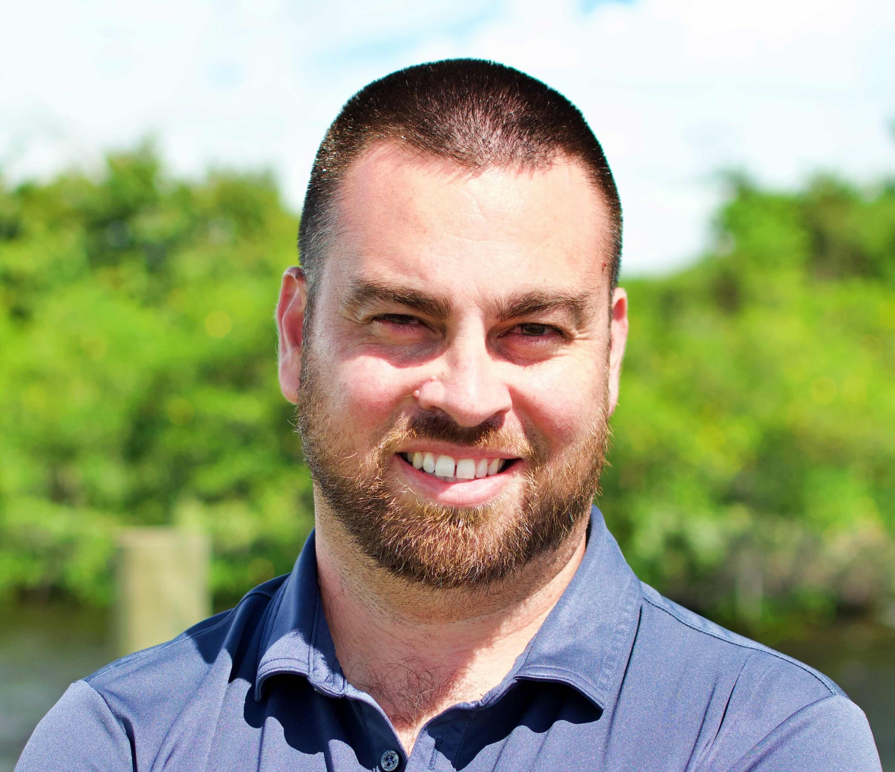
Research Mentor: David Moroni,
Department, College, Affiliation: Department of Earth, Ocean & Atmospheric Science, Arts and Sciences
Contact Email: dmoroni@fsu.edu
Research Assistant Supervisor (if different from mentor):
Research Assistant Supervisor Email:
Faculty Collaborators: Mark Bourassa; Amanda Lovett
Faculty Collaborators Email: bourassa@coaps.fsu.edu
Department, College, Affiliation: Department of Earth, Ocean & Atmospheric Science, Arts and Sciences
Contact Email: dmoroni@fsu.edu
Research Assistant Supervisor (if different from mentor):
Research Assistant Supervisor Email:
Faculty Collaborators: Mark Bourassa; Amanda Lovett
Faculty Collaborators Email: bourassa@coaps.fsu.edu
Looking for Research Assistants: Yes
Number of Research Assistants: 1
Relevant Majors: Meteorology, Physical Oceanography, Computer Science
Project Location: 2000 Levy Avenue Building A, Suite 292 Tallahassee, FL 32306-2741
Research Assistant Transportation Required: Yes Remote or In-person: In-person
Approximate Weekly Hours: 10, During business hours
Roundtable Times and Zoom Link:
Number of Research Assistants: 1
Relevant Majors: Meteorology, Physical Oceanography, Computer Science
Project Location: 2000 Levy Avenue Building A, Suite 292 Tallahassee, FL 32306-2741
Research Assistant Transportation Required: Yes Remote or In-person: In-person
Approximate Weekly Hours: 10, During business hours
Roundtable Times and Zoom Link:
- Day: Wednesday, September 2
Start Time: 2:30
End Time: 3:00
Zoom Link: https://fsu.zoom.us/j/99928875333 - Day: Thursday, September 3
Start Time: 2:30
End Time: 3:00
Zoom Link: https://fsu.zoom.us/j/99928875333
Project Description
The Marine Data Center at the Center for Ocean-Atmospheric Prediction Studies (COAPS), an off campus laboratory operated by Florida State University, produces global scale meteorological and surface oceanographic datasets supporting scientific research across NASA, NOAA, NSF, and cross-institutional academia. A recently developed multi-decadal series of ocean surface wind vector datasets have been produced using radar scatterometer instruments aboard space-based orbital platforms, providing high resolution global and coastal coverage. Ongoing research with these datasets covers a variety of topics, including but not limited to: air-sea interaction, marine weather forecasting, and ocean circulation.We are looking for a student who is passionate about weather, learning real-world computer science techniques, and learning to work with datasets that are used to answer key questions about weather impacts near the ocean surface. If you care about how weather over the ocean contributes to the weather over the land and would like to understand the data and techniques commonly used in answering these types of questions, then this project is a perfect opportunity for you to learn and develop real-world experience. You will also gain the ability to understand and communicate complex insights on ocean surface winds and weather. For example, you will gain an understanding of how a high wind speed event over the ocean many miles away from your local beach may lead to a variety of changing local weather conditions, such as dangerous boating conditions, hazardous swimming conditions, and the development of storms that can make landfall in your area. You will also learn how phenomena can develop and be transported under the ocean surface as a result of particular wind events, such as seaweed, harmful algal blooms, and biological productivity for fisheries.
This project proposes to involve a highly motivated undergraduate student to learn how to generate value-added datasets, from the source data previously described, to study weather-related diagnostics calculated from near the ocean surface data. With guidance from highly experienced mentors, the student researcher will develop one or more specified research topics from a set of higher level research topics and use cases, including but not limited to: coastal upwelling/downwelling, extreme wind events, tropical/mid-latitude cyclones, ocean mixing, air-sea interaction, and lower atmospheric boundary layer weather.
The student selected for this project will receive an introduction to satellite remote sensing and air-sea interaction. Additional mentorship and training will address the following: scientific software engineering principles, programmatic access of data from application programming interfaces (APIs), data management, interoperable data & metadata structures, understanding the limitations of the data, validation & uncertainty assessment of the data, global-scale data analysis & processing, open-source scientific computing, scientific literature review, critical scientific inquiry, technical writing, and developing new data & tools to support further research. This student will work in a collaborative research laboratory environment alongside other students and researchers, with an opportunity to engage with diverse colleagues studying disciplines across computer science, data science, applied mathematics, meteorology, and physical oceanography.
The high level goals of this project are as follows:
1. Learn how to calculate ocean surface weather diagnosticse transformed into datasets spanning a multi-decadal time scale.
2. From scientific literature review within a high-level topic of interest, develop a specified research topic that answers one or more critical scientific questions.
3. Receive peer-review feedback from community members via oral presentations during various stages of the research.
4. Publish open-source software associated with the research.
5. Write and present a technical poster summarizing the data, research methods, analysis and results.
Research Tasks: The student will learn about the methods and technology used in the context of global-scale satellite remote sensing research applied to air-sea interaction, marine boundary layer weather, and associated physical oceanographic processes. Embedded within these tasks, the student is expected to gain a higher level understanding of scientific computer programming, limitations & challenges of specific remote sensing datasets, how to troubleshoot & problem-solve within complex scientific computing workflows, and develop project-task management skills.
Specifically, the student will be tasked with the following:
+ Develop software to ingest “real” satellite remote sensing data and process that data into a derived data product, along with corresponding metadata. Much of this task will take advantage of existing code.
+ Develop additional software for graphical data visualization, statistical analysis, validation, and uncertainty quantification.
+ Develop a research topic with a set of science questions. This is done to ensure the topic is motivating to the student, and with the help of the mentors.
+ Publish final set of software and data products in an open-source repository.
+ Present research findings in group meetings.
+ Develop and deliver a poster presentation for the FSU UROP Symposium.
As an embedded research assistant, the selected student is expected to report regularly (at least weekly) to their scientific mentor(s) for face-to-face meetings. The student will be expected to conduct their work in person at our lab in Innovation Park.
Skills that research assistant(s) may need: Required: Intermediate computer skills (e.g., Mac or Windows OS, teleconferencing applications, Email, Microsoft Office Suite). A willingness to learn1 or more scientific programming languages (e.g., Python, R, MATLAB, C, C++). An interest in acquiring an introductory understanding of Earth Science topics, such as within the disciplinary domains of meteorology and oceanography. A willingness to learn new techniques/tools/topics, ability to work within a collaborative team environment, and exhibit attention to detail. Other relevant fields of study include applied mathematics, computer science, data science, and geography.
Recommended: Prior training (e.g., job, internship or coursework) in scientific computer programming (e.g., Python, R, MATLAB, C, C++), experience in coding/debugging within an integrated development environment (e.g., Visual Studio, VS Code, PyCharm, RStudio, and Jupyter), and knowledge/skills in the following: shell scripting, GitHub, and Linux/UNIX OS environments. Past experience in working with one or more datasets, ideally with geospatial and temporal structuring. It’s expected the student will be able to learn and utilize many more tools, concepts and coding techniques during the project.